Atlas of the war maps, plans, diagrams and pictures illustraring the great European war
Atlas of the war maps, plans, diagrams and pictures illustraring the great European war


Disgrifiadau
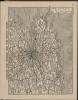
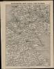
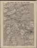
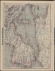
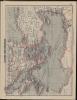
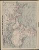
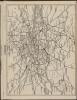
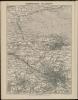
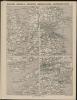
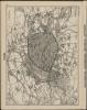
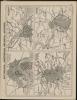
1 atlas (88 p.) : maps, diags., ill. ; 24 cm.
Ffynhonnell allanol:

More items with these tags
Cysylltwch â Ni
I wneud cais i dynnu i lawr neu riportio cynnwys hiliol, sarhaus neu niweidiol mewn unrhyw ffordd arall.

You must be logged in to leave a comment