Plan of Harroldston St. Issells parish in the...
Map of a district comprising all the lands...
Plan of Camrose parish, Pembrokeshire
Plan of the parish of Saint Martin in the...
Plan of the parish of Dinas in the County of...
Map of the Upper division of the parish of St...
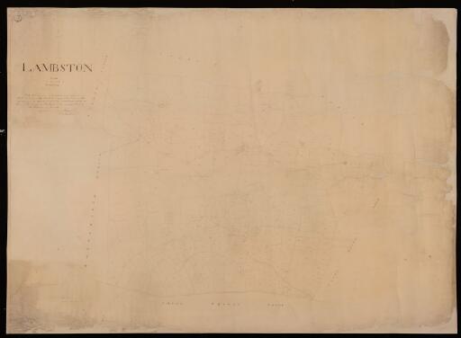
A plan of Lambston parish in the County of...
The townships of Hafodgynfawr, Nantgwryd and...
Plan of Puncheston parish in the County of...
Map of the township of Penley in the County of...
Llangefni parish in the County of Anglesey
Map of the parish of Crickieth in the County of...
The parish of Llannor in Carnarvonshire
A map of the parochial chapelry of Gwredog in...
Plan of the parish of Llanwnda in the County of...
Wiston parish in the County of Pembroke
Plan of the parish of Llanvihangel Llantarnam...
Map of the township of Aberwhiler in the parish...
No. 2 map of the parish of Llansaintffraed in...
Plan of the parish of Crunwear in the County of...
Plan of the parish of Llanwenog in the County...
Plan of the parish of Whitchurch in Dewsland,...
St Florence parish, Pembrokeshire
Plan of the parish of St Ishmaels, Pembrokeshire
Plan of part of the parish of Stainton in the...
Plan of the township of Iscoyd in the parish of...
Map of the parish of Llangadock, Carmarthenshire
Burton township in the parish of Gresford in...
Township of Lleweni Isav, Lleweni Uchav, Llan,...
A map of the hamlet of Ysclydach in the parish...